Wednesday, January 28, 2015

Gerhard Shelter Loop - Great North Mountain

The Great North Mountain area, which is west of Front Royal on the Virginia/West Virginia border is an area I often overlook it when planning hikes. I'm not sure why that is because there are some really nice hikes there. We've hiked a lot of the trails in the area over the years, but the Gerhard Shelter loop was an exception. It fit the bill for Sunday, meeting two criteria: we had never been there and it included a small part of the Tuscarora Trail. We are trying to hike more of the non-road portions of that route (unfortunately, there are still many miles of road walking on it).

We started under cloudy skies. The trail immediately climbs away from Waites Run Road and switchbacks up a ridge for a couple of miles. As we climbed, the patches of snow turned into an inch or so covering the trail. By the time we made the top of the ridge, ice covered all of the tree limbs and mountain laurel leaves. The mountain laurel drooped over the trail under the weight of all of the ice. When we hiked through it, it sounded like we were pushing through beaded curtains. At the very top of the ridge, we were treated to a stunning view of the mountains to the east and West Virginia to our left.

We stopped for lunch at Gerhard Shelter, a nice small shelter on top of the ridge. The only downside of camping there is the closest water source is over half a mile down a very steep trail. After lunch, we hiked down the steep trail to reach a forest road which took us to the Vance Cove Trail. Eventually, we came out onto Waites Run Road to complete the loop. It was a lovely hike even with a significant amount of forest road walking. We saw one group of backbackers high up on the ridge.

The Tuscarora Trail on the way in the switchbacks that made up the first couple of miles of the hike.
Ice on mountain laurel leaves.
A cool fungus on a log.
The view to the east from the top of the ridge.
The Tuscarora Trail on the top of the ridge.
Michael finishing his lunch in Gerhard Shelter.
The forest road near the bottom of the valley
Racoon tracks in the snow on the road.
Rabbit tracks.
Waites Run near the end of the hike.
Anther view of Waites Run.
A cool lichen on a rock.

Thursday, January 22, 2015

West Virginia Part Two: Dolly Sods North

On Sunday, part of the group wanted to stay in and play board games, so a smaller group of us went hiking. Like the cabin rental, hiking up the Salamander Ski Run at Timberline Resort and crossing into the wilderness has become an annual tradition. This year, we didn't get to use snowshoes. There was plenty of snow on the ski run, but it was all man-made snow. In the woods, very little snow covered the ground.

We made good time hiking up the ski run, getting a few funny looks from skiers and snowboarders along the way. One of the cool things about accessing Dolly Sods this way in the winter is this: You reach a bend in the ski run and you are fully in the front country. Downhill skiers fly by. You then step off the ski run, walk through 25 yards of trees and you are in the backcountry, the ski run no longer really visible through the trees. It is like a magic portal between worlds.
Once in the wilderness, we took a left on the Rocky Ridge Trail. Although there wasn't much snow on the ground, the trail was very icy in places.
At the first overlook, Dolly Sods was busy reminding us that it was winter. The 40 mph winds turned the falling sleet into something like a sandblaster. We didn't hang out here for very long.
 A little while later, the clouds broke and we were treated to a little bit of sun.
Since we weren't snowshoeing, we were able to hike faster than we could in previous years. We made it to the rocks near the northwest corner of the wilderness area in no time.
The view of Canaan Valley to the west of the rocks. Snow squalls like the one moving over the valley in this picture kept blowing through as we were hiking, followed by brief sunny breaks in the clouds.
Another view from the rocks. We turned back at the rocks so we could get back to the cabin in time to make dinner.
Hiking back towards the ski area.
A trail sign near the entrance to the ski area. Dolly Sods remains one of my favorite places to explore in the winter. Hopefully, we get a bit more snow this winter so we can get up there with snowshoes.


Tuesday, January 20, 2015

West Virginia Part One: Red Creek

We spent the long holiday weekend in West Virginia with a whole bunch of friends. Since this is the third year the group has done this, I think we can say it our annual winter West Virginia Weekend. We rented a cabin near Timberline Resort and spent the weekend playing outside, eating too much good food, playing board games, and generally getting too little sleep. It doesn't get much better than that.

Saturday morning we decided to hike up the lower Red Creek Trail in Dolly Sods and bushwhack to a large waterfall. Michael and I been to Dolly Sods a lot, but mostly to the northern part of the wilderness area. We attempted the Red Creek trail from Laneville just once in 2006 the first year we lived here. Since we were new to the Mid-Atlantic, we really didn't understand the general climate of that area of West Virginia. We went in March, because, you know, it was spring (not really). Crossing Red Creek (which, anywhere west of the Appalachians would be called a "river"), swollen with snow, remains one of the sketchiest things I've done in the woods. We've learned so much since then, but we just hadn't made it around to revisiting that part of Dolly Sods.

Red Creek cuts a deep, rhododendron-filled canyon through the plateau containing Dolly Sods and Roaring Plains. The area is rugged and remote. It was bright and cold when we arrived at the Laneville trailhead Saturday morning with about an inch of snow on the ground.  The trail basically follows the south bank of Red Creek, which was partially to completely frozen. After a couple of miles, we paused for lunch next to one of the larger side streams. After eating, we left the trail and bushwhacked up to a large waterfall. We crossed the frozen stream, fought our way through the rhododendrons, crossed the ice several more times and fought our way through more rhododendrons. Did I mention the rhododendrons? The entire creek was filled with beautiful ice formations. The reward for the effort: a spectacular 50-foot tall frozen waterfall. 

We returned to the cars the way we came, fighting our way down the creek to the trail and then hiking out along Red Creek. I'm glad Michael and I finally returned to the area and really glad we got to explore it with great friends. Tomorrow, I'll post about our hike up into the northern part of Dolly Sods.
 Rhododendrons along the trail. Their leaves curl up when it is below freezing.
This tree grew over a nurse log and the arch under the roots is the only remnant of it.
The mouth of Big Stonecoal Run at Red Creek.
Frozen icicles on Red Creek.
 A cairn on the Big Stonecoal Trail on the south bank of Red Creek.
Hiking up the frozen creek.
Curled bark on a fallen paper birch log.
Water flowing behind icicles.
The waterfall that we were seeking. Note the size of the trees around it.
A fungus on a tree.
Hiking back to the car late in the afternoon.
Red Creek in the fading light.
Another view of Red Creek.

Tuesday, January 13, 2015

A Snowy Walk on the Appalachian Trail in Michaux State Forest

On Sunday, Michael and I got out with two friends for a relatively easy 11 miles on the Appalachian Trail in Pennsylvania. We started at Shippensburg Road and hiked south to Caledonia State Park. Sunday was the beautiful: clear, mild (in the 30s), and a couple of inches of snow on the ground. We hiked north to south, which is probably the easier direction for that particular section. This little  section of the Appalachian Trail doesn't have clear vistas or amazing rock formations. What it does have is pleasantly rolling hills, tunnels of mountain laurel and rhododendrons, pretty streams, and few other hikers (at least in the winter). This is a hike for looking at the detail around you versus wide expanses on the horizon.
 Ice crystals on a rock.
A pretty stream near the northern end of the section that we hiked.
The Appalachian Trail at Birch Run Shelter.
Frost flowers along the trail.
Michael on the Appalachian Trail.
The afternoon light filtering through the trees.
Milesburn Cabin, which is owned by the Potomac Appalachian Trail Club (for those not from the area, they own a system of cabins that can be rented).
A rhododendron tunnel near Quarry Gap Shelter. If you click to enlarge you can see the white blaze on a tree in the middle of the tunnel.

Sunday, January 4, 2015

Bull Run Mountains Conservancy: Visiting High Point Before it is Closed

When one drives from Front Royal to the Washington, DC area on I-66, just before the outskirts of the suburbs, there is a cliff band visible off to the left (north). I have always sort of wondered about that cliff band, but I didn't realize it was an area that was open to the public. Recently, a notice went up on a hiking board that a place called High Point in the Bull Run Mountains Conservancy (BRMC) is going to close to the public on January 15, 2015. It turns out that those cliffs are High Point. I had overlooked BMRC because the length of the trail system is not what I would generally consider worth the drive. The closure changed the equation a bit, so a friend and I decided to visit on Friday for the last day of our holiday vacation.

When we arrived, there were a number of people and cars in the parking lot. They must have taken a different route to the cliffs, though, because we saw very few of them on the trails. We hiked past the mill that is visible on I-66 and then turned north towards the cliffs. After a pleasant, moderate climb, we made it to the overlook, which had a really nice nice view. I happen to have spent a lot more time west of the Blue Ridge, so seeing it from the east was somewhat of a novelty.

After lunch on the cliffs, we returned down the trail and turned down the Ridge Loop Trail. At the bottom of a steep descent, we crossed Catlett Branch and followed an old path to an abandoned stone quarry. This was one of the nicest parts of the walk. The stream was pretty and we had this little valley to ourselves. After returning to the trail, we passed old house foundations, an old cemetery, and an abandoned farmhouse before we reached the road and the car.

It was a really pleasant hike. We hiked a total of seven miles, which normally wouldn't make it worth the drive, especially given the reported crowding levels at this park. We actually didn't see very many people, but there were a lot of cars in the parking lot. My guess is that many people took the most direct route to High Point and returned the same way.

As I noted, the trails to High Point will close permanently on January 15, 2015.
The hike starts by crossing the railroad tracks that parallel I-66. Chapman Mill can be seen in the middle of the photo.
Another view of Chapman Mill from the Fern Hollow Trail. The mill burned in 1998.
View to the west from High Point cliffs.
Bootshot from High Point.
 An old bike frame that was hung on a tree branch.
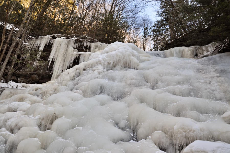
 Catlett Branch near the old quarry.
A tiny fern.
Moss capsules.
My friend noticed this on a beech tree. After some googling, I am pretty sure it is Scorias spongiosa (Spongy Sooty Mold). It grows on honeydew excreted by beech blight aphids. This tree had quite a bit of it. It is not, apparently, harmful to the trees unless there is so much of it that it interferes with photosynthesis. More information here.
Near the end of the hike is an abandoned farmhouse. The interesting thing about this place is that the barn is built on to the house. This is the house side.
This is the barn side.