Great North Mountain is in the George Washington National Forest. The Great North Mountain Trail is a long trail running a number of miles along the spine of the ridge west of I-81, following the West Virginia/Virginia state line in many places. To reach the Great North Mountain Trail, we hiked 2.75 miles up the Falls Ridge Trail. The relatively steep (but nothing like last week) trail starts off following an old roadbed and passes an old broken down DC Transit bus. It makes a right turn at the junction with the purple-blazed Fat Mountain Trail. It is easy to miss the junction because there is a low berm blocking the view of the Falls Ridge trail. The trail quickly narrows and up high on the ridge, it is so overgrown with mountain laurel that wearing shorts would be a bad idea.
We had lunch on some rocks at the junction with the Great North Mountain trail. Although it was bright, sunny and relatively warm on the rocks, the wind had a cold edge to it, reminding us that it is still March. After lunch, we turned south and followed the relatively easy trail along the ridge (and the state line) for almost 4.25 miles. There were actually a few remaining snowbanks in the shady spots. We stopped at an overlook where we could see all the way from Signal Knob to Hawksbill in Shenandoah National Park and further south.
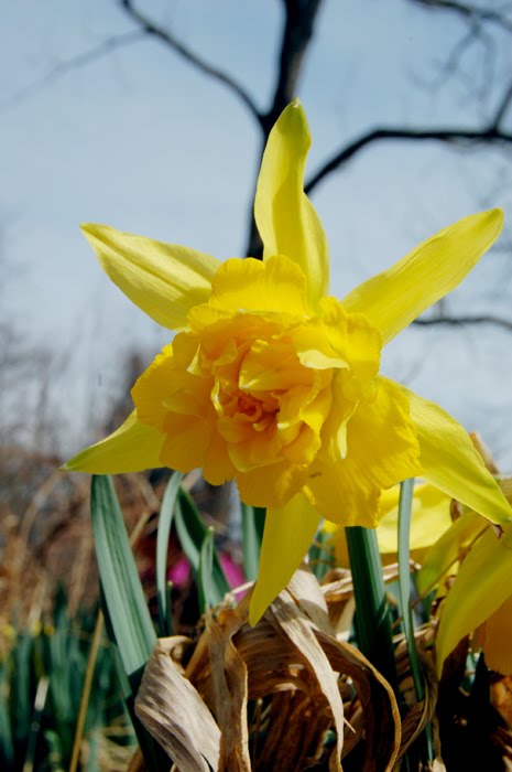
When we reached a set of radio towers, and began our descent off the ridge with a one-mile road walk. Coltsfoot was blooming in the ditches. We also saw a neat old homesite, complete with a little pond. All that remained was the stone chimney, a rock wall, and a lot of daffodils.
Then we arrived at the gasline cut. The best things I can say about it are: there was a good view, and at least we didn't have to hike up it. It was as steep was what we hiked last week, if not as long. There isn't really a trail and the gravel isn't really packed down, so you pretty much just stumble down the mountain. The pictures below don't do it justice. I would guess that, in the summer, the gasline cut is an overgrown, thorny, tick-infested mess - not that those things would keep me away. At the bottom of the hill, the Laurel Run Connector Trail is marked on the left by about six blue-blazed trees and two large cairns.
The Laurel Run Connector Trail follows a roadbed and is marked with blue blazes. The logging operations apparently also use blue blazing, although a different shape, to mark trees. If you weren't familiar with what the blazes are supposed to look like, it could make for an interesting hike: Seemingly every other tree is marked with some blue paint, often stretching far into the woods away from the trail. After a couple of miles, we turned right on the Fat Mountain Trail, passing a pretty little stream before returning to the truck. In 11.7 miles, we only saw one other person the entire day - a PATC trail maintainer.
Pictures (click to enlarge):


White rocks on the Great North Mountain trail.


No comments:
Post a Comment